Midlatitude Continental Convective Clouds Experiment
Midlatitude Continental Convective Clouds Experiment
Midlatitude Continental Convective Clouds Experiment
Latest Image Processed for MC3E Field Experiment
Click image to see latest products.
|
GOES-13 |
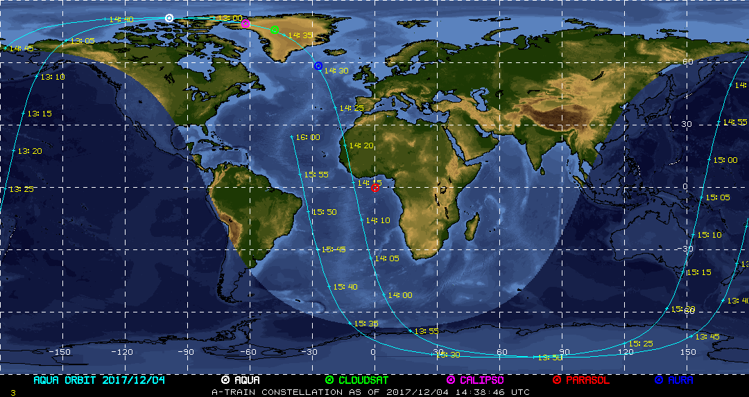
| Current Location of A-Train Satellites (updated every 30 sec) | ||
|
|
|
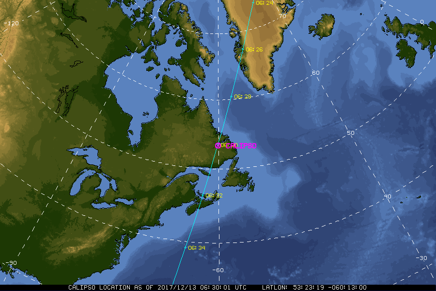
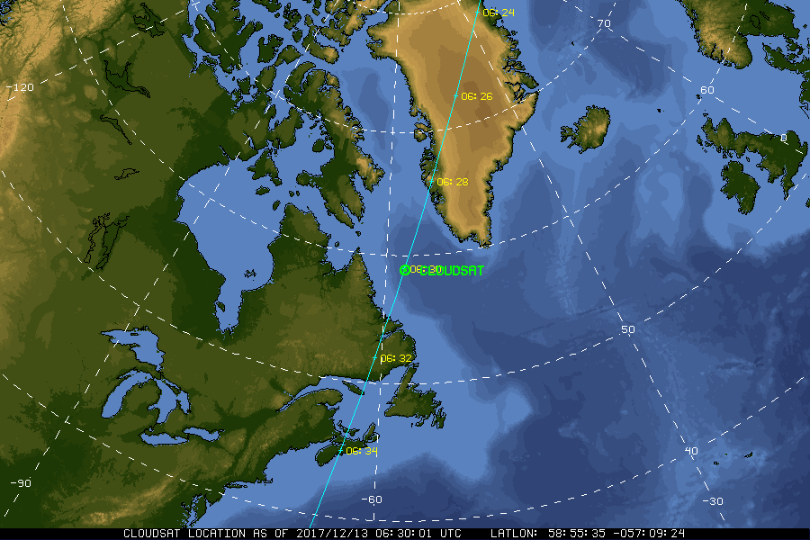
| A-Train | Calipso | CloudSat |
|
|
NASA Fact
The Dryden Flight Research Center (DFRC) is NASA's center for aeronautical flight research and atmospheric flight operations. DFRC is chartered to research, develop, verify, and transfer advanced aeronautics, space and related technologies. It also serves as a backup landing site for the Space Shuttle and a facility to test and validate design concepts and systems used in development and operation of the Orbiters.
- + Freedom of Information Act
- + Budgets, Strategic Plans and Accountability Reports
- + The President's Management Agenda
- + Privacy Policy and Important Notices
- + Inspector General Hotline
- + Equal Employment Opportunity Data Posted Pursuant to the No Fear Act
- + Information-Dissemination Priorities and Inventories
- + USA.gov
- + ExpectMore.gov
- NASA Official: William Smith
- Website Curator: Louis Nguyen
- + Contact Langley
- + Contact Team Members