Langley Satellite Support for High Ice Water Content (HIWC) 2015 Cayenne Campaign
Langley Satellite Support for High Ice Water Content (HIWC) 2015 Cayenne Campaign
Langley Satellite Support for High Ice Water Content (HIWC) 2015 Cayenne Campaign
|
Quick LinksCloud Products
+ Cld Top Height+ Cld Bot Height + RGB + ICING + DEFF + REFF + TAU + IWP + LWP Archive
+ GOES-13 Cloud Products+ MSG Cloud Products Satellite Imagery
+ G13/MSG C01+ G13:C03, MSG:C05 + G13:C04, MSG:C09 + G13:C4RC, MSG:C9RC |
|||||||||


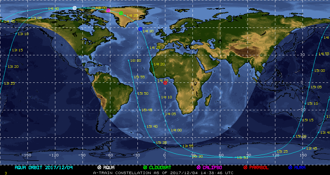
| Current Location of A-Train Satellites (updated every 30 sec) | ||
|
|
|
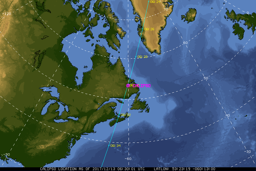
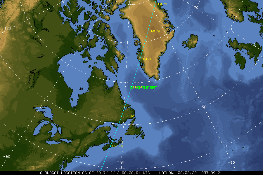
| A-Train | Calipso | CloudSat |
|
|
NASA Fact
The acronym "NASA" stands for National Aeronautics and Space Administration.
- + Freedom of Information Act
- + Budgets, Strategic Plans and Accountability Reports
- + The President's Management Agenda
- + Privacy Policy and Important Notices
- + Inspector General Hotline
- + Equal Employment Opportunity Data Posted Pursuant to the No Fear Act
- + Information-Dissemination Priorities and Inventories
- + USA.gov
- + ExpectMore.gov
- NASA Official: William Smith
- Website Curator: Louis Nguyen
- + Contact Langley
- + Contact Team Members